
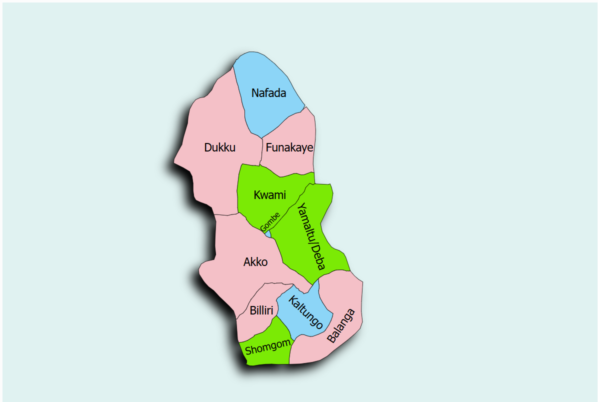
The Balanga Dam and Irrigation Scheme is situated in Balanga Local Government Area of Gombe State, near Talasse and surrounding farming communities. The scheme is supplied by Balanga Dam, located at coordinates 9°54′22″N and 11°32′09″E, constructed across the Balanga River, a tributary of the Gongola River.
The dam was constructed between 1982 and 1984 and commissioned in 1985, with irrigation activities commencing in 1988. It was originally designed as a single-purpose irrigation facility with fisheries as a secondary function. The reservoir has a total storage capacity of 72.6 million cubic metres (MCM) and a live storage capacity of approximately 62.7 MCM, enabling irrigation of approximately 4,000 hectares through gravity-fed canals.
The State Project Coordinator is DR. KABIR M. ALIYU and can be reached via email: mk4aliyu@gmail.com