
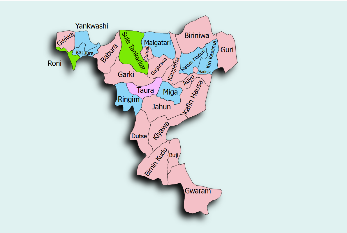
The Warwade dam and Irrigation Scheme is located in Warwade Community, in Dutse Local Government Area of Jigawa State, at approximately 11.749271°N and 9.21447°E. The scheme is designed to serve an irrigable command area of approximately 812 hectares.
The scheme detailed design identified approximately 700 hectares suitable for conventional gravity-fed open-channel irrigation due to favourable topographic gradients and soil characteristics. An additional 100 hectares was identified for mechanized irrigation using centre-pivot systems, enabling more efficient water application and improved crop water management.
The integration of gravity irrigation with pressurized centre-pivot systems represents a modern irrigation approach that enhances water use efficiency while maximizing agricultural productivity. The State Project Coordinator is ENGR. ALHASSAN ABBAS and can be reached via email: alhassandutse@yahoo.com