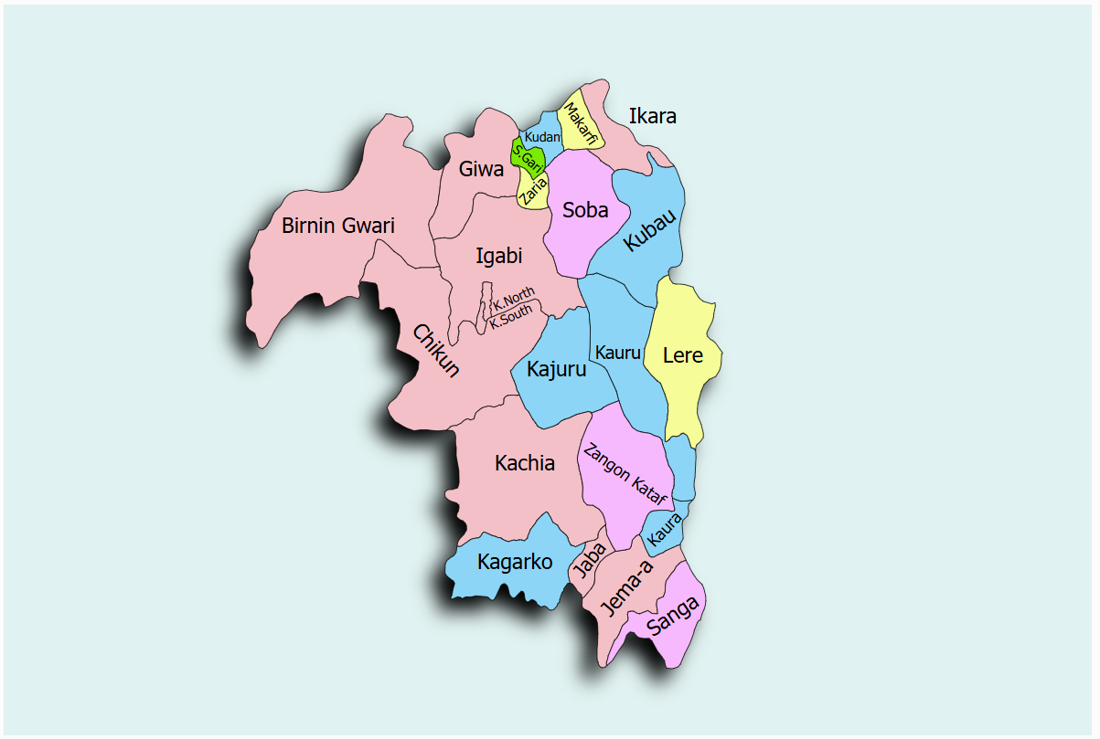
Kaduna State is an active participant in the Sustainable Power and Irrigation for Nigeria (SPIN) project, committed to enhancing agricultural productivity through sustainable irrigation systems. The state has opted for Model 2, which focuses on state-led development and management of irrigation schemes. To meet its agricultural objectives, Kaduna State has selected the Zaria Irrigation Scheme for rehabilitation and expansion under the SPIN project.
The Zaria Irrigation Scheme is located at coordinates Lat: 11°4'30.00"N and Long: 7°42'30.00"E. The SPIN project implementation in Kaduna State is overseen by the designated state coordinator, Dr. Fatima Bello. Stakeholders can contact the coordinator via email at fatima.bello@kadunastate.gov.ng.