
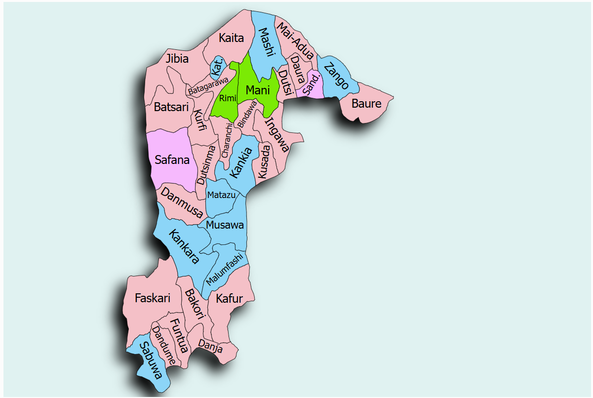
The Danja dam and Irrigation Scheme is located in Danja Town, Danja Local Government Area of Katsina State, within the Funtua Senatorial Zone. Danja LGA shares boundaries with Funtua, Bakori, Kafur, Kudan, and Giwa Local Government Areas and occupies approximately 504.7 square kilometres.
The scheme depends on the Danja Earth Dam, which has a storage capacity of approximately 95.41 million cubic metres, making it one of the largest reservoirs among the proposed SPIN irrigation schemes, and it is designed to support an irrigated area of about 1,217 hectares.
The State Project Coordinator is ENGR. SHAMSUDEEN SULEMAN and can be reached via email: sskafur@gmail.com