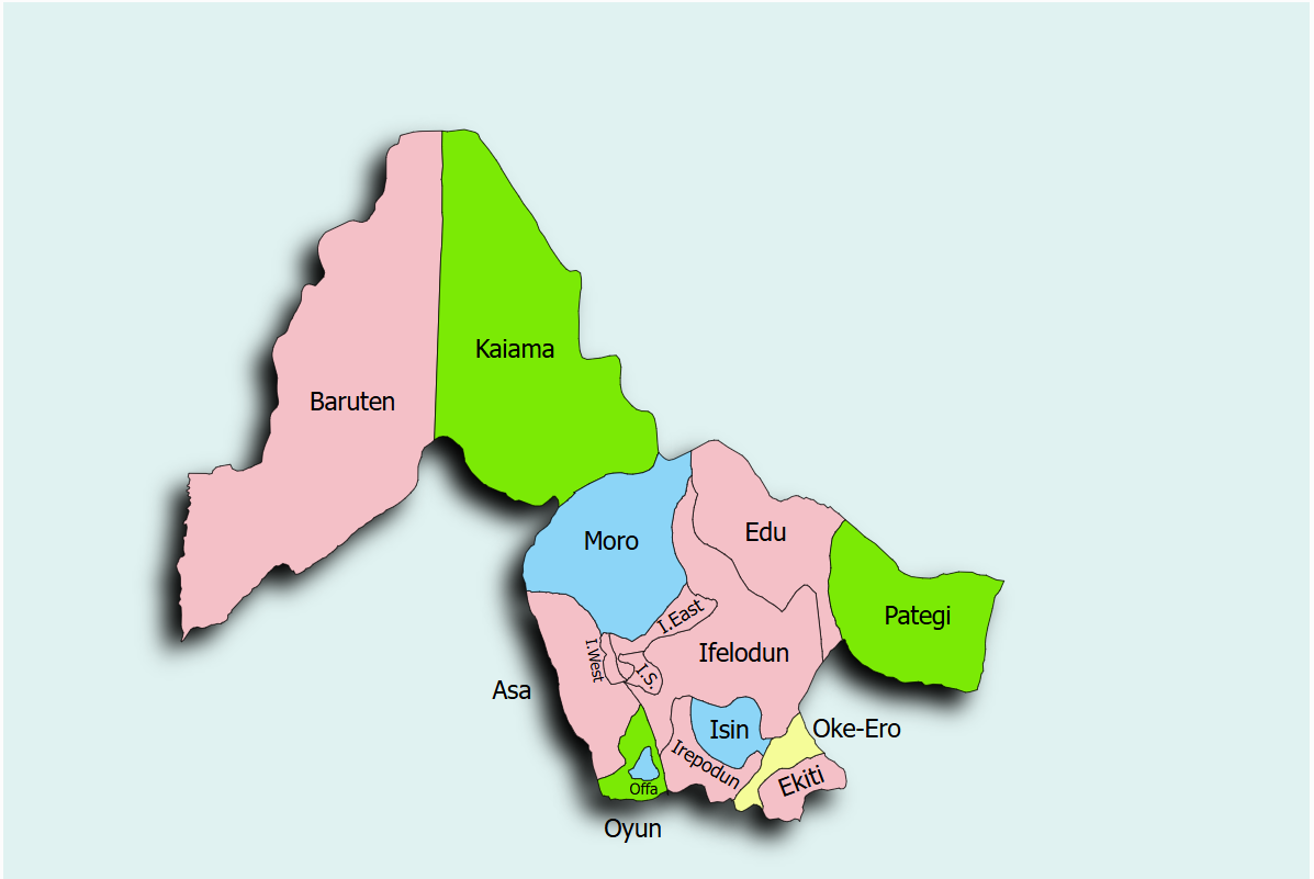
Kwara State is an active participant in the Sustainable Power and Irrigation for Nigeria (SPIN) project, dedicated to improving agricultural productivity through sustainable irrigation systems. The state has opted for Model 2, with the state government leading the development and management of irrigation schemes. To meet its agricultural goals, Kwara State has selected the Kwara River Irrigation Project for rehabilitation and expansion under the SPIN project.
The Kwara River Irrigation Project is located at coordinates Lat: 8°30'0.00"N and Long: 4°33'0.00"E. The SPIN project in Kwara State is coordinated by the state coordinator, Dr. Adebayo Johnson. For inquiries, stakeholders can contact the coordinator via email at adebayo.johnson@karastate.gov.ng.