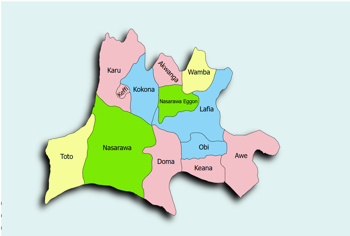
Nasarawa State is upgrading its farming capabilities by taking part in the SPIN project. The state is implementing Model 1, focusing on a synergistic partnership with the Federal Government to rehabilitate a federal RBDA scheme. The Doma Irrigation scheme has been selected as the priority site for these interventions.
The Doma Irrigation scheme is mapped at Latitude 8° 24'N and Longitude 8° 30'E. The state's assigned focal officers are directing the initial phases of the project, ensuring alignment with both local agricultural needs and federal standards.